


NSW State Emergency Service and emergency service partners are continuing to support communities along the Hunter and Mid North Coast impacted by major flooding.
Emergency warnings advising people to evacuate, or seek shelter, remain in place in many locations from Bellingen in the north to Paterson in the south.
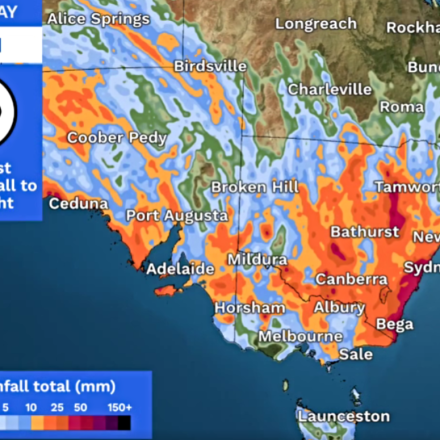
Severe weather is expected to continue with moderate showers, particularly over the Hunter as the weather system starts to move south.
NSW SES State Duty Commander Assistant Commissioner Colin Malone said while the rain will start to ease later today, the risk from flooding is far from over.
“We may see renewed rises as water from earlier heavy falls makes its way downstream,” Mr Malone said.


A priority for Friday will be commencing resupplying isolated communities.
NSW SES has begun using helicopters to transport boats and equipment, with planning underway to commence bulk resupply.
“For the last few days our efforts have focused on undertaking life-saving rescues,” Mr Malone said.
“More than 600 have been carried out since this flooding began.
“A major focus now will be continuing to support those isolated residents, who may be stuck for several days until flood water recedes.
“We’ll be using boats and helicopters to help isolated people with food and medications and also assist in transporting people to urgent medical appointments or other medical emergencies.”
For full details on the resupply process, visit www.ses.nsw.gov.au.
For resupply, call the NSW SES on 132 500.
Mr Malone said NSW SES volunteers have been hard at work over the last several days right across the state.
“We’ve deployed more than 2200 volunteers who have been working with around 200 personnel from other emergency agencies, interstate resources and members of the Australian Defence Force.
“More than 500 boats, and 9 helicopters are working across our area of operations to support the community.”


Central Coast-Newcastle
Heavy rainfall is possible in parts of the Central Coast including at Newcastle and Gosford.
Rainfall is expected to ease gradually from the north, through the Hunter during Friday morning, central parts of the state during late Friday afternoon or evening, before finally easing over the southeast during Saturday morning.
The NSW SES has issued a Watch and Act Warning advising residents to stay indoors due to intense and heavy rainfall. Flood warnings are also in place at Wollombi, Bulga, Raymond Terrace, Dora Creek, Yarramalong and Dooralong, Chittaway Point and Tuggerah Lake.
Sydney-Metro-Blue Mountains
As the weather system moves south from the Mid North Coast, the NSW SES is warning of the risk of flash flooding, storm related incidents and minor flooding on the Colo, Hawkesbury and Nepean Rivers.
The Nepean Dam is currently spilling, meanwhile it is possible the Warragamba Dam may spill sometime Friday or Saturday. Advice level warnings are currently in place at Colo, North Richmond and surrounds, Milperra and surrounds, Liverpool and Tempe Bridge.
“The real risk over the next 24 hours is flash flooding, with heavy rainfall totals between 60 and 100mm possible,” Mr Malone said.
“Roads may become cut quickly and without warning. We ask the community to remain vigilant and never drive through flooded areas.”
Illawarra-South Coast-Southern Tablelands-Snowy Mountains
Heavy rainfall is expected to extend further south to the Southern Tablelands and inland South Coast later on Friday. Locations which may be affected include, Bowral, Braidwood, Bega, Katoomba, Goulburn, Nerriga and Captains Flat.
Western NSW
NSW SES continues to support communities along the Warrego and Darling Rivers, where minor flooding is expected to continue for several weeks.


0 Comments